-40%
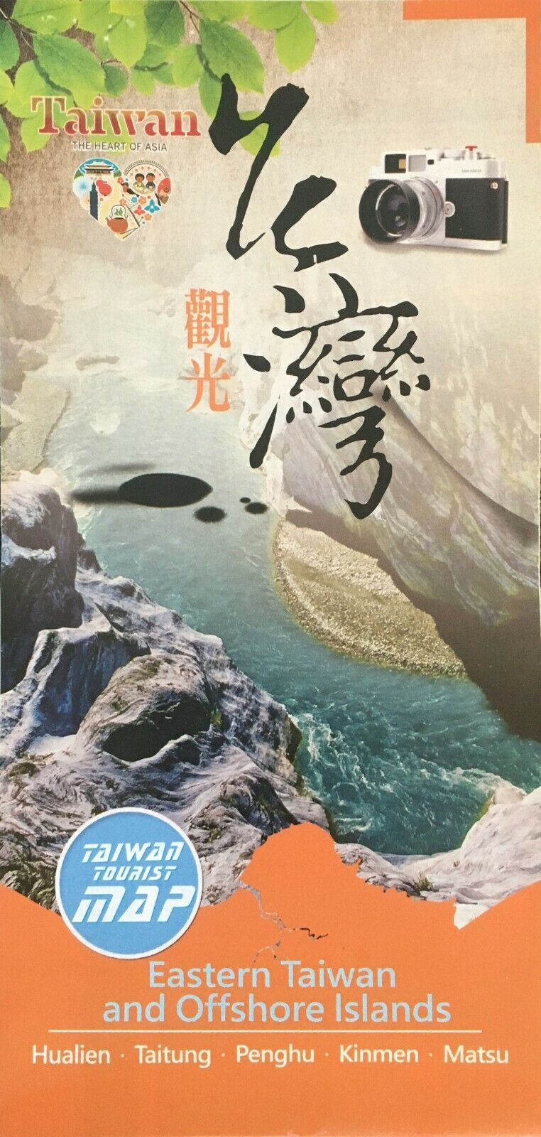
NEW-2013 EASTERN TAIWAN and Offshore Islands Tourism Map
$ 3.14
- Description
- Size Guide
Description
NEW 2013 TOURIST MAPEASTERN TAIWAN
AND
OFFSHORE ISLANDS
Hualien – Taitung – Penghu – Kinmen – Matsu
In English
Tourism Bureau, 2013, Taipei, Taiwan
Paper map measures 32 ¼” X 23”
Map describes and locates Taroko National Park, with Qingshui Cliff, Tianxiang,
Swallow’s Grotto and Tunnel of Nine Turns.
Yushan National Park, with the New Central and Southern Cross-Island Highway.
East Coast National Scenic Area, with Shitiping, Sanxiantai, Xiaoyeliu.
East Rift Valley Scenic Area, with Liyu (Carp) Lake, Chinnan National Forest, Tzu Chi’s Still Thought & Still Thought Abode and Zhiben National Forest Rec. area
Offshore Islands:
Kinmen National Park, with the Wind Lion, Jyuguang Tower and Guningtou.
Pengu National Scenic Area, with Main Islands, North and South Sea.
Matsu National Scenic Area, with Dongyin, Beigan, Nangan and Jyuguang.
Map shows freeways, high-speed railway, highway, road, country road, railway, river, lake, town, city, village, National Park, scenic area, National forest, recreation area, hot springs, farm, scenic area, international airport, domestic airport and visitor center.
Detail maps also show stores, temples, shrines, schools, hotels, golf courses, colleges, parks and government buildings
This map will be shipped first class mail
