-40%
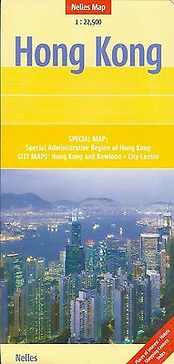
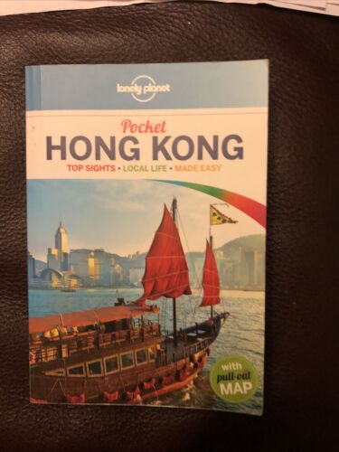
Map of Hong Kong, by Nelles Map
$ 2.08
- Description
- Size Guide
Description
Map of Hong Kong, by Nelles MapHong Kong on a double-sided indexed map from Nelles combining a street plan of Hong Kong itself with Kowloon and Tsuen Wan, an enlargement for the central districts on both sides of the Victoria Harbor, plus a road map of the Special Administrative Region of Hong Kong including access to the Shenzhen Economic Zone.
On one side is a street plan at 1:22,500 covering the built-up areas of Hong Kong and Kowloon, with Tsuen Wan included as an inset. The plan clearly shows metro lines with stations and ferry links. One way streets are marked and various public buildings and places of interest highlighted. The plan is indexed, with separate lists of selected hotels, shopping centers, cultural and religious establishments, medical facilities, etc.
On the reverse the central part of Hong Kong and Kowloon is shown in greater detail at 1:15,000, with additional indexing. Also included is a road map at 1:125,000 showing the whole of the Hong Kong Special Administrative District. Map legend includes English.
When unfolded, map measures approx. 30" x 20"
Note: Map is new, but shows minor shop wear on cover.
Map retails for $ 10.95, publication date: 2007, ISBN
9783865740335
